Environmental monitoring of mine activities using images from Unmanned Aerial Vehicle
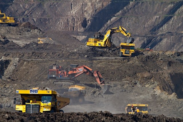
Presentation by Mr Fatwa Ramdani (Researcher – Institute of Geography, Tohoku University, Japan) and Mr Andy Gusty Rangga (GIS Specialist, PT Britmindo). “Monitoring environmental impacts and vegetation cover in mine sites are an important step in remote sensing applications for mining management. Traditional aerial platforms such as airplanes and satellites are not suitable for these […]